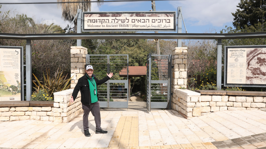
Past and future unite in the ruins of ancient Shiloh
As we travel from Jerusalem, we pass through several checkpoints along the way as we cross over the “Green Line.” (Actually, we crossed it as soon as we passed the neighborhoods of Sanhedria Murchevet, Ramat Shlomo, and Ramot, but somehow that’s never too intimidating.) There are those tourists who get nervous traveling here, and I understand them. But somehow, knowing antisemitism is up about 30 percent around the world, in these parts — where Hashem tells us that He is watching us from the beginning of the year until the end, and with the added security of soldiers looking through the cocked guns all along the highways — I feel a bit more protected.
Along the way, we pass palace after palace — of Palestinian houses. Despite media claims, it’s clear that they seem to be living quite well over here, ensconced in villas abutted by opulent spiral staircases and decorative stone fountains.
We’re traveling on Highway 60, which is the modern path somewhat following the Derech Ha’Avos, the ancient north-south passage running through the land. It begins in Be’er Sheva in the south, moving north through Chevron and Beit Lechem, and even passing through Jerusalem near King George Street, continuing to Beit El, Shiloh, and Shechem, and all the way up to the lower Galil.
This is the pathway our ancestors traveled. Its route along the top of the central mountain range of Eretz Yisrael, and as the watershed dividing point of the range, made it easy to navigate — there were always many water cisterns along the way. Today we’re traveling to the ancient city of Shiloh by car for less than an hour — so we don’t really need to refill our water supply.
Create a free account to keep reading.